Cutting-Edge Tools
Our Technological Advantage
Ibarra Land Surveyors invests in the latest surveying technology to deliver superior accuracy, efficiency, and comprehensive data for your projects.
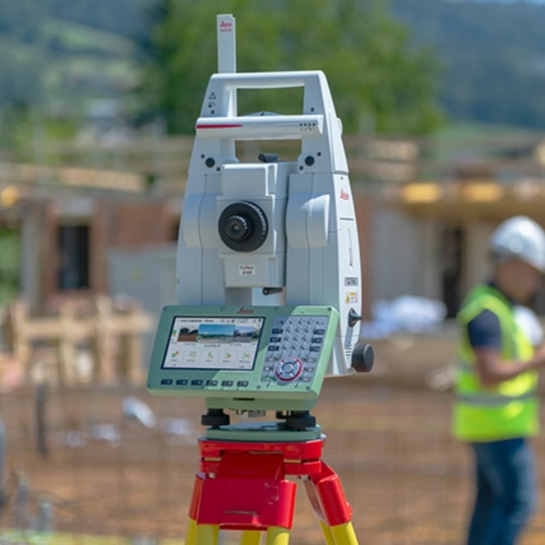
Robotic Total Station (Leica TS16)
Our Leica TS16 robotic total station combines high‑speed EDM measurement with advanced on‑board data processing. It lets a single surveyor perform complex traverses, stakeouts, and topographic mapping with millimeter‑level accuracy.
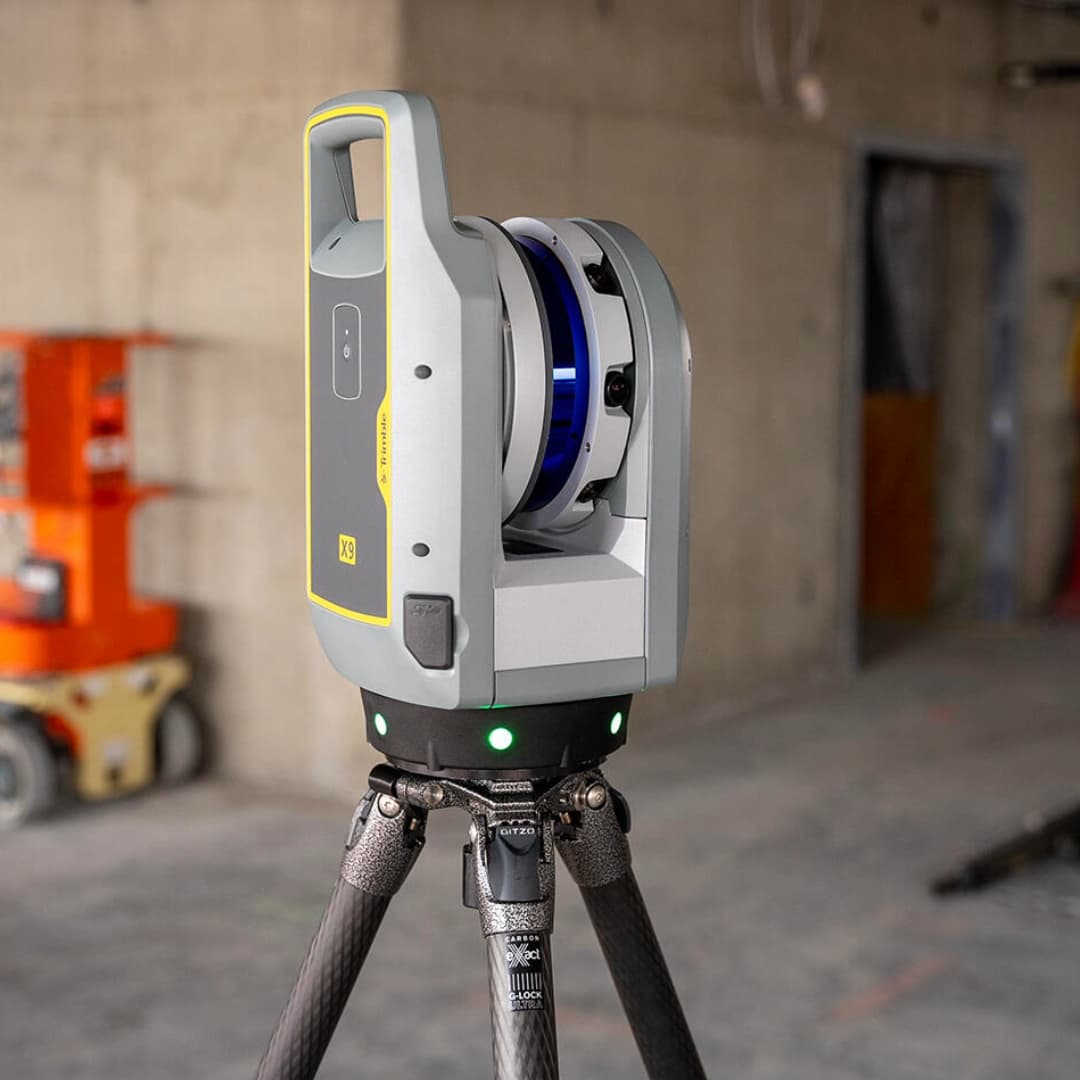
3D Laser Scanning (Trimble X9 Premium)
For detailed as‑built and terrain capture, our Trimble X9 Premium laser scanner automatically levels itself, captures up to 2 million points per second, and delivers rich point clouds that uncover every nuance of the site.

Aerial Drone Surveys (DJI Matrice 350 RTK)
Equipped with RTK positioning and high‑resolution imaging, our DJI Matrice 350 RTK drones conduct rapid, centimeter‑accurate aerial surveys—even in challenging environments—so we can map large areas safely and efficiently.
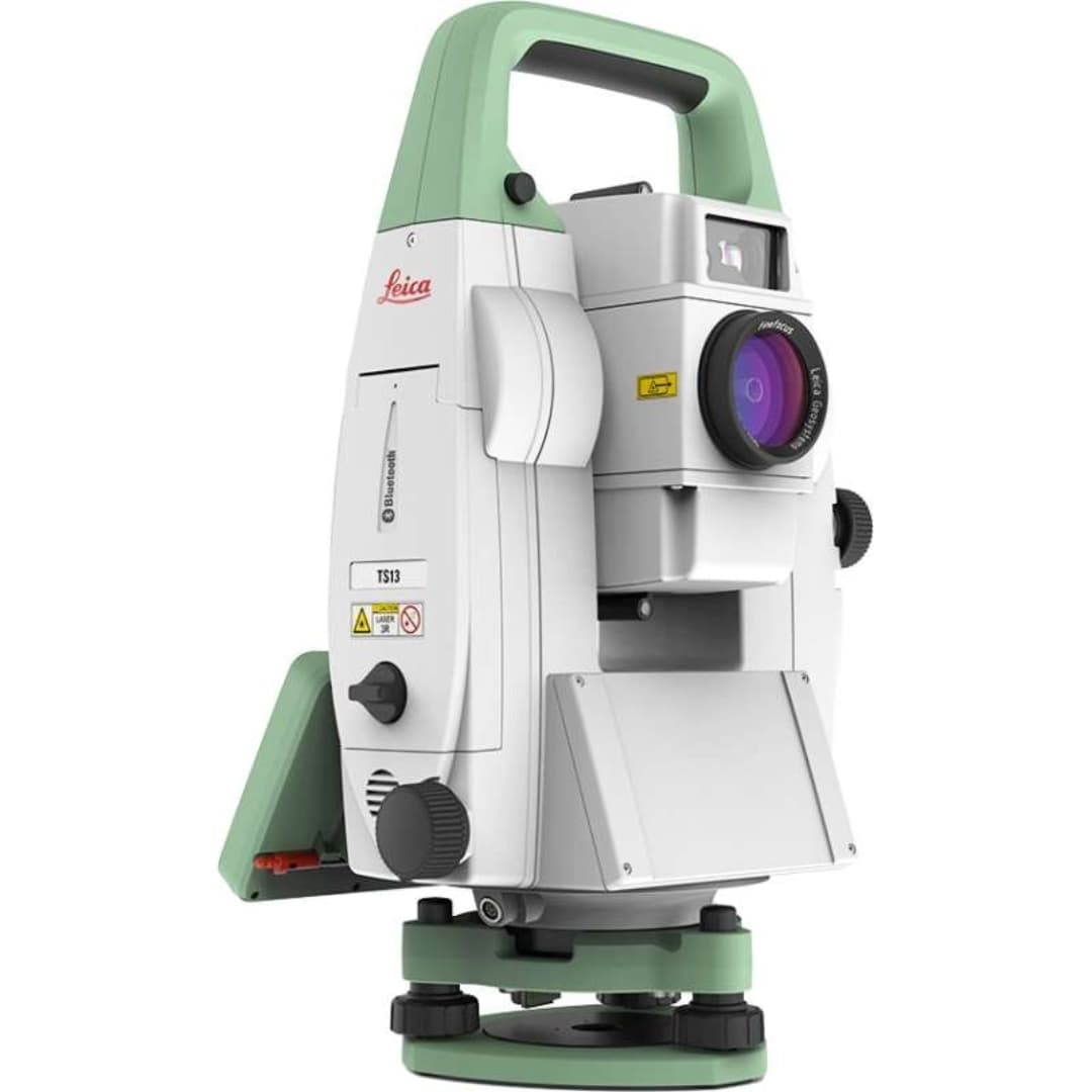
Precision Prism Systems (TS13 Prism & Tribrach)
Paired with our robotic stations, Allen Precision’s TS13 prism assemblies ensure stable, reflective targets for long‑range measurements, improving both speed and reliability on the job.
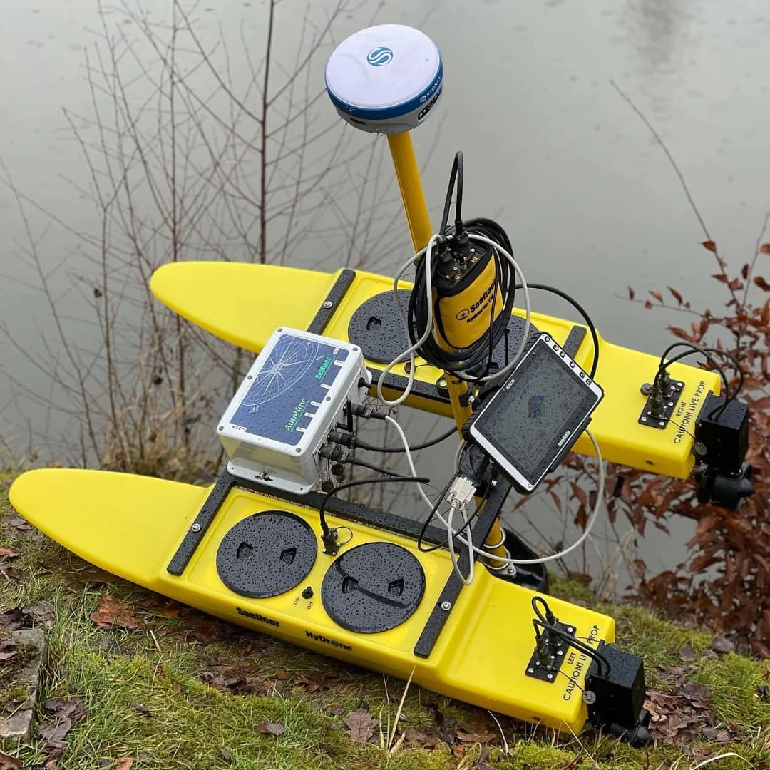
Hydrographic & Marine Mapping (SeaFloor Systems)
When projects extend offshore, we deploy SeaFloor Systems’ sonar and underwater positioning solutions to chart submerged features with unrivaled detail, from shoreline profiles to subaqueous utilities.

Office CAD & Data Processing (Trimble Business Center)
Back in the office, all field data—whether point clouds, drone imagery, or total‑station shots—is brought into Trimble Business Center. There, we perform rigorous QA/QC, integrate multiple data streams, and generate deliverables ranging from topographic plans to BIM‑ready models.
By combining these industry‑leading tools, Ibarra Land Surveyors delivers clear, actionable data on land, in the air, or offshore faster and more accurately than ever.
By The Numbers
Performance Metrics
Points/Second (LiDAR)
Acres Surveyed
Projects Completed
Data Processed Annually